CRISM OBSERVATION FOOTPRINT
|
ACCESS TO MRO DATA IN THE PDS
The following links provide direct access to the PDS archive of calibrated CRISM data for this observation if the data have already been archived, as well as to CTX or HiRISE images coordinated with it.
ACCESS TO PROTOTYPE TRR3 CRISM DATA
These prototype TRR3 data products are being made available prior to PDS release to support MSL landing site studies. Permission for use is for that purpose.
PDS labels for TRR3 products are under development. The labels here are “PDS-compliant” labels from radiance images used to calculate I/F, and some of the label information is mismatched (e.g., units). However these labels are adequate to support ingestion of TRR3s into CAT.
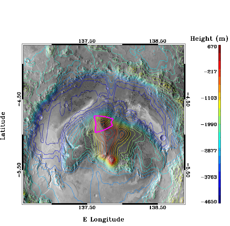
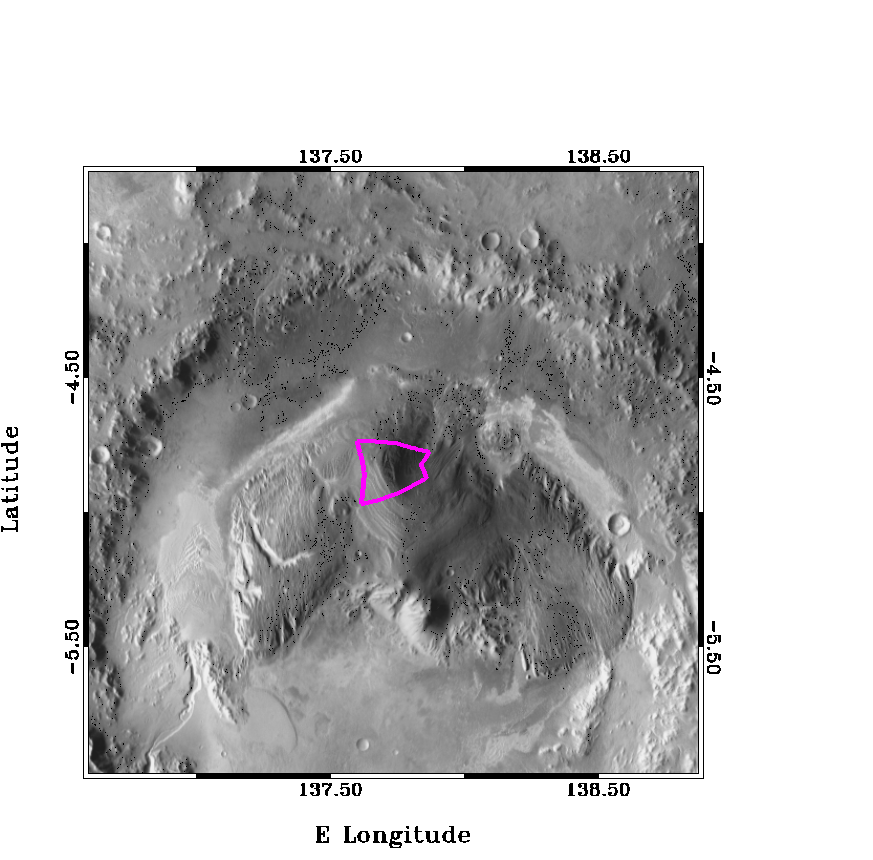
ABOUT THIS CONTEXT IMAGE
Data Sources
The images are composed of daytime Thermal Emission Imaging System (THEMIS) data in the background that have been properly registered to the Mars Orbiter Laser Altimeter (MOLA) data. MOLA data are used to generate the contours shown in the "PNG with MOLA contours" images. The magenta outline indicates the location of the CRISM observation. All data are projected in equirectangular coordinates, referenced to the nearest equator-ward 5 degree increment in latitude.
Downloads:
|