UNIFORM STRETCH ACROSS ALL SITES
SITE STRETCH 
ABOUT BROWSE PRODUCTS
|
ACCESS TO MRO DATA IN THE PDS
The following links provide direct access to the PDS archive of calibrated CRISM data for this observation if the data have already been archived, as well as to CTX or HiRISE images coordinated with it.
ACCESS TO PROTOTYPE TRR3 CRISM DATA
These prototype TRR3 data products are being made available prior to PDS release to support MSL landing site studies. Permission for use is for that purpose.
PDS labels for TRR3 products are under development. The labels here are “PDS-compliant” labels from radiance images used to calculate I/F, and some of the label information is mismatched (e.g., units). However these labels are adequate to support ingestion of TRR3s into CAT.
DOWNLOADS
OBSERVATION DETAILS
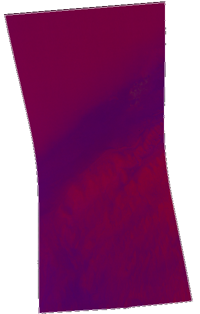
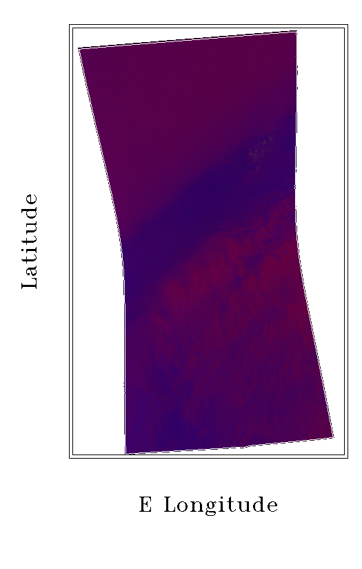
File | HRL00011D43_07_IF182S_TRR2.LBL | Comment | COORD Target - 34584 Sulfate and clay strata in Gale Crater Sedimentary/Layering Processes | Year/Day of Year | 2009_090 | Observation Type | HRL | Observation ID | 00011D43 | Image Count within Observation Sequence | 07 | File Type | IF | Macro Number | 182 | Sensor ID | 0 | Solar Longitude | 237.758 | Incidence Angle | 53.6 | Emission Angle | 20.3 | Phase Angle | 53.6 | Lines | 450 | Samples | 320 | Image Start Time | 2009-03-31T11:37:23.877 | Image Stop Time | 2009-03-31T11:39:23.604 | Start Spacecraft Clock Count | "5/0922966665.61590" | Stop Spacecraft Clock Count | "5/0922966785.43656" |
|
